
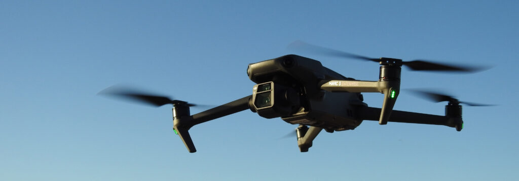
Drone-Based Mapping with RTK Technology vs Traditional Land Surveying: A Comparison
Land surveying is a crucial step in the development of any land-based project. It involves the measurement and mapping of land features, boundaries, and elevations to provide accurate data for design and construction. Traditional land surveying methods have been around for centuries, but recent advancements in technology have made drone-based surveys a viable alternative. In this article, we’ll compare the cost per acre, time to process data, and accuracy of deliverables for drone-based surveys with RTK technology and traditional land surveying.
Drone-Based Mapping with RTK Technology vs Traditional Land Surveying: A Comparison Read More »